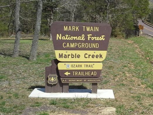
THE MARBLE CREEK RECREATION AREA AND OZARK TRAIL ACCESS
|
Ancient Geology
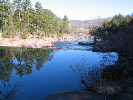
Marble Creek, rushing 20 miles through the rugged St. Francois Mountains, is named for deposits of attractively colored dolomite. This "marble" and other dolomites and sandstones found along the valley sides and bottom were deposited as sediment on the floor of an ancient sea over 500 million years ago. In contrast, the distant mountains were formed nearly 1.35 billion years ago during a period of intense volcanic activity! History Within the recreation area you can see the concrete remains of a grist mill dam and building foundation. This dam is the third to be built here and was operated until 1935. The first dam was wooden, the second of rock and earth and the present dam of stone and concrete with iron wagon wheel hoops reinforcing. This dam was restored by the Forest Service in 1966. Other points of interest include Crane Mountain Lookout Station, eight miles nortwest, offering panoramic views of Mark Twain National Forest; Fort Davidson in Pilot Know, Missouri, 15 miles northwest, site of one of the major Civil War battles in Missouri; and Taum Sauk Mountain, 15 miles northwest, with lookout tower located 1772 feet above sea level, the highest point in Missouri. Marble Creek Trail Camping at Marble Creek Activities Comping, fishing, hiking, nature viewing, picnicking and water activities. Directions From Fredericktown From the intersection of MO Hwy 72 and US Hwy 67, head South on Hwy 67 approx. 2.8 miles to the MO State Hwy E exit, then turn Right/West onto Hwy E. Travel approx. 15.5 miles along State Hwy E; Marble Creek will be on your right. |


