TOURISM
|
Explore the Great Outdoors of Madison County!
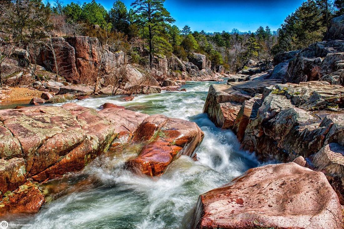
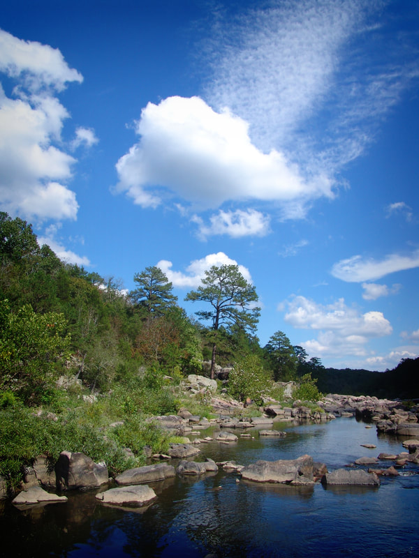
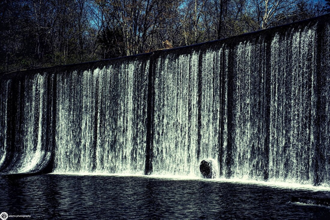
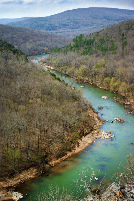
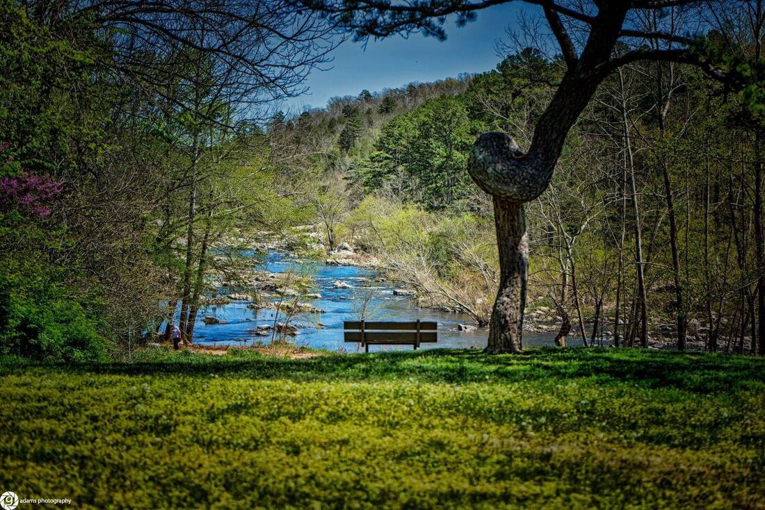
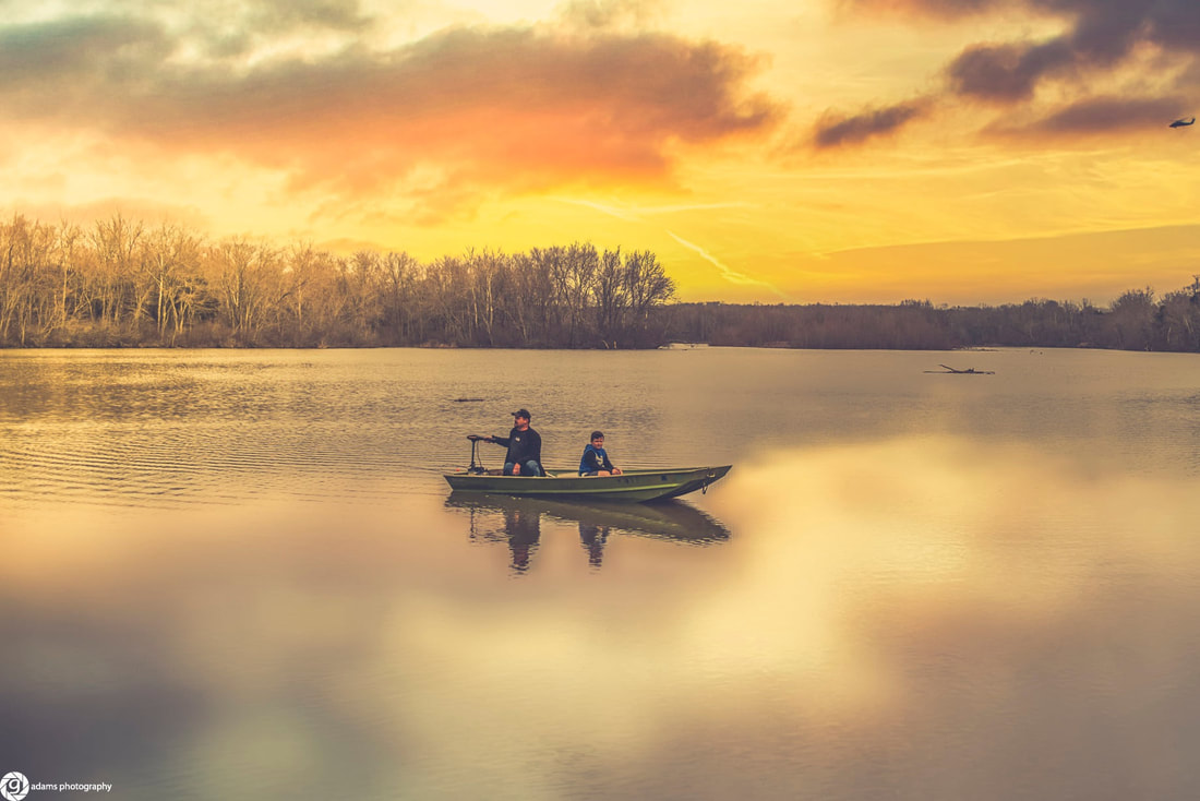
Outfitters From fishing to rafting, hunting to camping, Madison County Missouri offers a fantastic diversity of natural areas, public and private. Need some hunting or fishing gear before heading out? Check out Angler's and Archer's, a local outfitter supplying traditional, hand made recurve and long bows, compound bows, hand made cedar arrows, quivers, gloves and more. They also have everything you need for fishing: rods, reels, lines, live bait, jigs, lures and nets. Private Campgrounds Castor River Ranch Campground: Castor River Ranch Campground offers a peaceful, private river-front camping experience in a natural setting yet has immediate access to state highway DD. All of our RV/Campsites are very spacious and are furnished with picnic tables, stone fire pits, septic, electric (30 - 50-110 amp) and spring- water. We offer canoe/ kayak/tube out fitting and a shuttle service for float trips. Public Lands and Campgrounds Amidon Memorial Conservation Area The area is nearly all forest. Facilities/features: permanent stream (Castor River) and Castor River Shut-ins Natural Area. Activities: Camping, Backpacking, Fishing, Hiking, Hunting Castor River Shut-Ins natural area The Castor River Shut-Ins is Missouri’s only known pink granite shut-ins. This picturesque pinkish granite is from the Breadtray formation, an igneous rock formation that is 1.5 billion years old. Most of the exposed igneous rocks of the St. Francois Mountains region are rhyolite rather than granite. Igneous rocks are formed from volcanic activity. Activities: Hiking, Hunting, Fishing Rock Pile Mountain Wilderness Area This 4,238 acre Wilderness takes its name from an ancient circle of granite rock, piled by some earlier man on top of the mountain. It is located in Madison County on the Fredericktown Ranger District, southeast of Bell Mountain and southwest of Fredericktown, Missouri. The area is primarily a broken ridge, having steep rocky slopes running from Little Grass Mountain on the north to the National Forest boundary four miles to the south. Activities: Hiking Silver Mines Recreation Area Silver Mines Recreation Area, named for actual silver mines, active in the 1920s but long since played out, is located on the banks of the St. Francis River. The area offers a variety of recreational activities and an abundance of historic and geological wonders. The silver mine started in 1877 and closed in 1946. A dam was built across the river by the mining company; the dam and the entrance to the mine are still there. Enjoy kayaking, canoeing, swimming, hiking and picnicking year-round. The river offers an excellent white water experience. There are two miles of trails along the river, offering spectacular views. The campgrounds include: 75 campsites; a group site; 17 picnic sites; drinking water; and vault toilets. Each campsite has a table, lantern post and fire ring; some have electric hookups. Some campsites are reservable at www.recreation.gov or by calling 877-444-6777. The campgrounds and picnic areas are open March 5-Oct. 17. Route D Fredericktown, MO 63645 Phone: 573-783-3769 Open 24 hours Latitude: 37° 33.293′ Longitude: -91° 33.722′ Activities: Camping, Canoeing, Fishing, Hiking, Swimming Marble Creek Recreation Area This 10-mile trail is a pleasant day hike and an excellent mountain bike trip. This section will eventually connect to the Taum Sauk section via Ketcherside Mountain. The campground includes 25 single sites, one double site and four picnic areas. All campsites have a table, fire ring and a lantern post. Vault toilets are available. Fishing and swimming are available. Horses are allowed on the trail, but not allowed in campground or picnic areas. Marble Creek, rushing 20 miles through the rugged St. Francis Mountains, is named for deposits of attractively colored dolomites which were mined and used in the building trade as Taum Sauk Marble. You can see the concrete remains of a gristmill-dam, which operated until 1935, and building foundation. The Marble Creek section of the Ozark Trail is an eight-mile segment extending to Crane Lake, where it connects with the five-mile Crane Lake National Recreation Trail. While the trail is point-to-point from Marble Creek Campground to the Crane Lake trailhead, it features a loop around Crane Lake. The southern-half of the loop is considered more scenic, as it passes by the shut-ins below the dam and features great rock formations. Phone: 573-438-5427 Campground, 24 hours; picnicking, swimming and day use, 6 a.m.-10 p.m. Millstream Gardens Conservation Area This is a predominantly forest area consisting of 916 acres that includes 20 acres of shut-ins on the St. Francis River. Facilities/features: boat ramp, picnic area, pavilion, archery range, and St. Francis River Natural Area. Activities: Bird Watching, Canoeing, Fishing, Hiking, Hunting Marquand Access Area This area offers access to the Castor River. Activities: Fishing, Hunting Roselle Access Area This area offers access to the St. Francis River. Activities: Fishing Thompson Ford Access Area This area offers access to the St. Francis River. Activities: Canoeing, Fishing |

